 vesseltracker.com
Live AIS position:
48.73180° N, 7.23498° W UTC. 16 nm N of San Clodio),
updated 2025-11-19 23:12:27 UTC.
Find the position of the vessel Stina on the map. The latter are known coordinates and path.
marine traffic ship tracker show on live map
The current position of vessel Stina is 48.73180 lat / -7.23498 lng. Updated: 2025-11-19 23:12:27 UTCCurrently sailing under the flag of Antigua Barbuda
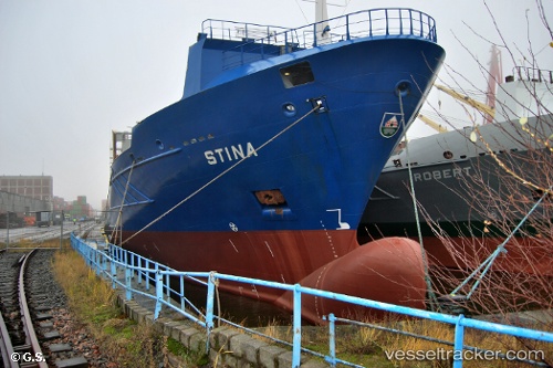
Stina built in 2004 year
Deadweight:
11376 tDetails:
Last coordinates of the vessel:
UTC, 48.18724, -7.48099, course: 20, speed: 10.7UTC, 48.18724, -7.48099, course: 20, speed: 10.7
UTC, 48.73180, -7.23498, course: 21, speed: 12.8
2025-11-19 23:12:27 UTC, 48.73180, -7.23498, course: 21, speed: 12.8