 vesseltracker.com
Find the position of the vessel BLUE LAGOON I on the map. The latter are known coordinates and path.
marine traffic ship tracker show on live map
The current position of vessel BLUE LAGOON I is 45.11983 lat / 37.01833 lng. Updated: 2025-11-04 22:25:19 UTCCurrently sailing under the flag of Panama
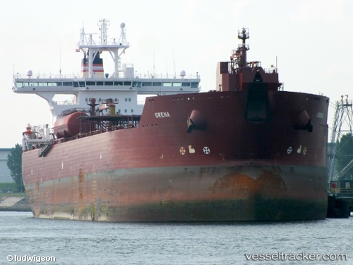
BLUE LAGOON I built in 2003 year
Deadweight:
148553 tDetails:
Last coordinates of the vessel:
UTC, 45.11983, 37.01833, course: 345, speed: 46.3UTC, 45.11983, 37.01833, course: 345, speed: 46.3
UTC, 45.11983, 37.01833, course: 345, speed: 46.3
2025-11-04 22:25:19 UTC, 45.11983, 37.01833, course: 345, speed: 46.3