 vesseltracker.com
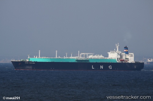
Find the position of the vessel Puteri Firus Satu on the map. The latter are known coordinates and path.
marine traffic ship tracker show on live map
The current position of vessel Puteri Firus Satu is 5.182680130004883 lat / 115.40862274169922 lng. Updated: 2025-02-12 06:20:12 UTCDetails:
Last coordinates of the vessel:
2025-02-12 06:20:12 UTC, 5.182680130004883, 115.40862274169922, course: 294, speed: 0