 vesseltracker.com
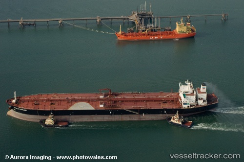
Vessel New Friendship IMO: 9249180, MMSI: 636018294 Crude Oil Tanker
UTC, 18.60167, 39.30500, course: -1, speed: 12
UTC, 18.95628, 38.98172, course: 316, speed: 12.3
2026-01-17 15:28:16 UTC, 19.01588, 38.92308, course: 336, speed: 4.1
Live AIS position:
UTC. 89 nm E of OSMAN DIGNA),
updated 2026-01-17 15:28:16 UTC.
Find the position of the vessel New Friendship on the map. The latter are known coordinates and path.
marine traffic ship tracker show on live map
The current position of vessel New Friendship is 19.01588 lat / 38.92308 lng. Updated: 2026-01-17 15:28:16 UTCDetails:
Last coordinates of the vessel:
UTC, 18.60167, 39.30500, course: -1, speed: 12UTC, 18.60167, 39.30500, course: -1, speed: 12
UTC, 18.95628, 38.98172, course: 316, speed: 12.3
2026-01-17 15:28:16 UTC, 19.01588, 38.92308, course: 336, speed: 4.1