 vesseltracker.com
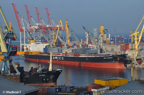
Vessel Nota A IMO: 9249271, MMSI: 354432000 Bulk Carrier
UTC, 40.84060, 29.28215, course: 305, speed: 0
UTC, 40.84060, 29.28203, course: 305, speed: 0
2026-01-16 17:26:43 UTC, 40.84070, 29.28220, course: 305, speed: 0
Live AIS position:
UTC. Near TUZLA),
updated 2026-01-16 17:26:43 UTC.
Find the position of the vessel Nota A on the map. The latter are known coordinates and path.
marine traffic ship tracker show on live map
The current position of vessel Nota A is 40.84070 lat / 29.28220 lng. Updated: 2026-01-16 17:26:43 UTCDetails:
Last coordinates of the vessel:
UTC, 40.84072, 29.28215, course: 305, speed: 0UTC, 40.84060, 29.28215, course: 305, speed: 0
UTC, 40.84060, 29.28203, course: 305, speed: 0
2026-01-16 17:26:43 UTC, 40.84070, 29.28220, course: 305, speed: 0