 vesseltracker.com
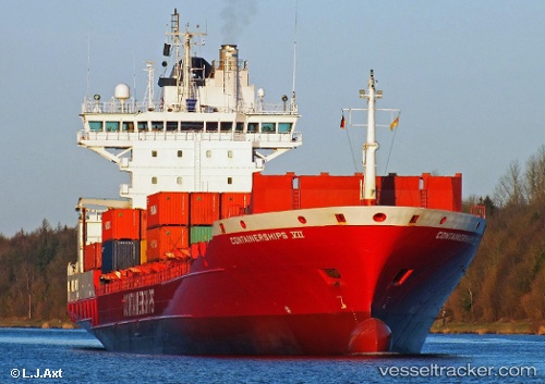
Vessel NOVA IMO: 9250098, MMSI: 211870240 Container Ship
UTC, 56.20637, 12.37252, course: 163, speed: 16.2
UTC, 55.78186, 12.69504, course: 192, speed: 15.9
2026-01-17 16:54:54 UTC, 55.68494, 12.68191, course: 175, speed: 15.6
Live AIS position:
UTC. Near Copenhagen),
updated 2026-01-17 16:54:54 UTC.
Find the position of the vessel NOVA on the map. The latter are known coordinates and path.
marine traffic ship tracker show on live map
The current position of vessel NOVA is 55.68494 lat / 12.68191 lng. Updated: 2026-01-17 16:54:54 UTCCurrently sailing under the flag of Germany
NOVA built in 2002 year
Deadweight:
13965 tDetails:
Last coordinates of the vessel:
UTC, 56.21324, 12.36881, course: 163, speed: 16.4UTC, 56.20637, 12.37252, course: 163, speed: 16.2
UTC, 55.78186, 12.69504, course: 192, speed: 15.9
2026-01-17 16:54:54 UTC, 55.68494, 12.68191, course: 175, speed: 15.6