 vesseltracker.com
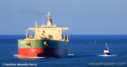
Vessel Santa Cruz I IMO: 9259680, MMSI: 636011265 Crude Oil Tanker
UTC, 2.28400, 104.72240, course: 224, speed: 11.5
UTC, 2.05318, 104.61773, course: 225, speed: 6.1
2026-01-20 04:29:16 UTC, 1.98060, 104.47557, course: 81, speed: 0.7
Live AIS position:
UTC. 41 nm NE of Kampung Tanjung Langsat),
updated 2026-01-20 04:29:16 UTC.
Find the position of the vessel Santa Cruz I on the map. The latter are known coordinates and path.
marine traffic ship tracker show on live map
The current position of vessel Santa Cruz I is 1.98060 lat / 104.47557 lng. Updated: 2026-01-20 04:29:16 UTCCurrently sailing under the flag of Liberia
Santa Cruz I built in 2002 year
Deadweight:
84999 tDetails:
Last coordinates of the vessel:
UTC, 2.45508, 104.86808, course: 225, speed: 6.5UTC, 2.28400, 104.72240, course: 224, speed: 11.5
UTC, 2.05318, 104.61773, course: 225, speed: 6.1
2026-01-20 04:29:16 UTC, 1.98060, 104.47557, course: 81, speed: 0.7