 vesseltracker.com
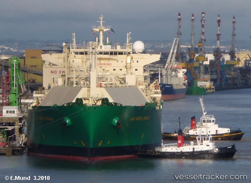
Find the position of the vessel Lng River Orashi on the map. The latter are known coordinates and path.
marine traffic ship tracker show on live map
The current position of vessel Lng River Orashi is 5.53491 lat / 103.68934 lng. Updated: 2025-10-09 00:12:57 UTCDetails:
Last coordinates of the vessel:
UTC, 5.53607, 103.67932, course: 219, speed: 0.2UTC, 5.53623, 103.68513, course: 211, speed: 0.2
UTC, 5.53485, 103.68864, course: 207, speed: 0.2
2025-10-09 00:12:57 UTC, 5.53491, 103.68934, course: 210, speed: 0.2
The ship also appears on the maps: