 vesseltracker.com
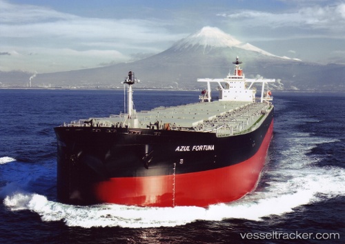
Vessel Azul Fortuna IMO: 9271561, MMSI: 356611000 Ore Carrier
UTC, 16.55478, 110.68713, course: 192, speed: 13.2
UTC, 16.44076, 110.65565, course: 197, speed: 13.2
2026-01-17 12:52:36 UTC, 16.17833, 110.53667, course: -1, speed: 12
Live AIS position:
UTC. 109 nm NE of Dung Quat Petroleum Port),
updated 2026-01-17 12:52:36 UTC.
Find the position of the vessel Azul Fortuna on the map. The latter are known coordinates and path.
marine traffic ship tracker show on live map
The current position of vessel Azul Fortuna is 16.17833 lat / 110.53667 lng. Updated: 2026-01-17 12:52:36 UTCDetails:
Last coordinates of the vessel:
UTC, 16.87240, 110.75907, course: 190, speed: 12.9UTC, 16.55478, 110.68713, course: 192, speed: 13.2
UTC, 16.44076, 110.65565, course: 197, speed: 13.2
2026-01-17 12:52:36 UTC, 16.17833, 110.53667, course: -1, speed: 12