 vesseltracker.com
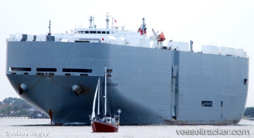
Find the position of the vessel Indiana Highway on the map. The latter are known coordinates and path.
marine traffic ship tracker show on live map
The current position of vessel Indiana Highway is 33.77348 lat / -118.21908 lng. Updated: 2025-11-11 17:55:02 UTCCurrently sailing under the flag of Japan
Indiana Highway built in 2003 year
Deadweight:
17442 tDetails:
Last coordinates of the vessel:
UTC, 33.77349, -118.21908, course: 238, speed: 0UTC, 33.77349, -118.21910, course: 238, speed: 0
UTC, 33.77351, -118.21909, course: 237, speed: 0
2025-11-11 17:55:02 UTC, 33.77348, -118.21908, course: 238, speed: 0