 vesseltracker.com
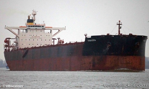
Find the position of the vessel Manasota on the map. The latter are known coordinates and path.
marine traffic ship tracker show on live map
The current position of vessel Manasota is 20.5756 lat / 38.3326 lng. Updated: 2023-01-24 01:46:07 UTCCurrently sailing under the flag of Malta
Manasota built in 2004 year
Port of registry:
Valletta (capital of Malta)Speed:
24.9 knotDeadweight:
171061 tGross tonnage:
88129Service entry:
2004-01-01T00:00:00ZManufacturer:
HD Hyundai Heavy Industries (South Korean shipbuilding manufacturer)
Details:
Last coordinates of the vessel:
2023-01-24 01:46:07 UTC, 20.5756, 38.3326, course: 153, speed: 9.7