 vesseltracker.com
Find the position of the vessel Gures on the map. The latter are known coordinates and path.
marine traffic ship tracker show on live map
The current position of vessel Gures is 41.19045 lat / -8.69235 lng. Updated: 2025-11-03 03:36:28 UTCCurrently sailing under the flag of Portugal
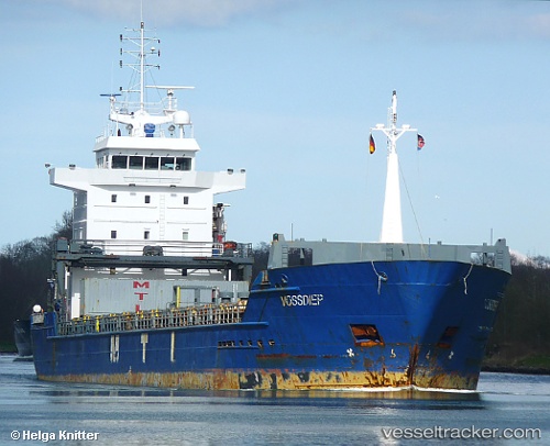
Gures built in 2003 year
Deadweight:
7250 tDetails:
Last coordinates of the vessel:
UTC, 41.19042, -8.69238, course: 232, speed: 0UTC, 41.19045, -8.69234, course: 232, speed: 0
UTC, 41.19043, -8.69236, course: 231, speed: 0
2025-11-03 03:36:28 UTC, 41.19045, -8.69235, course: 232, speed: 0