 vesseltracker.com
Live AIS position:
40.97995° N, 27.97868° E UTC. Near Marmara Ereglisi),
updated 2025-04-17 16:10:59 UTC.
Find the position of the vessel ELISE on the map. The latter are known coordinates and path.
marine traffic ship tracker show on live map
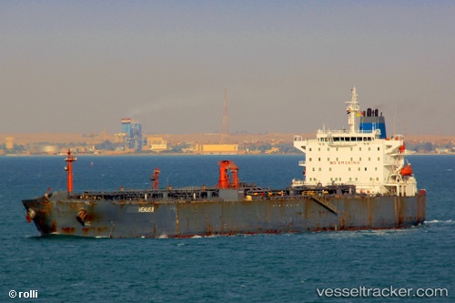
The current position of vessel ELISE is 40.97995 lat / 27.97868 lng. Updated: 2025-04-17 16:10:59 UTCCurrently sailing under the flag of Cook Is
ELISE built in 2004 year
Deadweight:
74999 tDetails:
Last coordinates of the vessel:
2025-04-17 16:10:59 UTC, 40.97995, 27.97868, course: 33, speed: 0