 vesseltracker.com
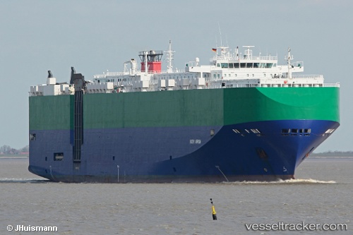
Find the position of the vessel Ivory Arrow on the map. The latter are known coordinates and path.
marine traffic ship tracker show on live map
The current position of vessel Ivory Arrow is 17.12520 lat / -61.85654 lng. Updated: 2025-10-21 14:05:35 UTCDetails:
Last coordinates of the vessel:
UTC, 17.12497, -61.86143, course: 108, speed: 5.2UTC, 17.12517, -61.85654, course: 282, speed: 0
UTC, 17.12518, -61.85653, course: 281, speed: 0
2025-10-21 14:05:35 UTC, 17.12520, -61.85654, course: 281, speed: 0