 vesseltracker.com
Find the position of the vessel Hope A on the map. The latter are known coordinates and path.
marine traffic ship tracker show on live map
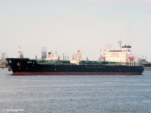
The current position of vessel Hope A is 37.7257 lat / 24.0816 lng. Updated: 2025-07-08 00:11:25 UTCCurrently sailing under the flag of Malta
Hope A built in 2004 year
Deadweight:
40095 tDetails:
Last coordinates of the vessel:
UTC, 37.4472, 24.0349, course: 8, speed: 13.3UTC, 37.6025, 24.06, course: 14, speed: 13.7
UTC, 37.7252, 24.0821, course: 258, speed: 0
2025-07-08 00:11:25 UTC, 37.7257, 24.0816, course: 228, speed: 0