vessel TIBURON IMO: 9283291, Crude Oil Tanker vesseltracker.com
Vessel TIBURON IMO: 9283291, Crude Oil Tanker
MMSI: 518999177 callsign: E5U5158 size: 244x42

Find the position of the vessel TIBURON on the map. The latter are known coordinates and path.

marine traffic ship tracker show on live map

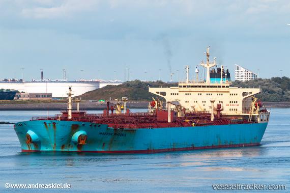
The current position of vessel TIBURON is 1.2715500593185425 lat / 103.43702697753906 lng. Updated: 2024-12-10 02:28:54 UTC

Currently sailing under the flag of Cook Is

TIBURON built in 2005 year

Deadweight:
109571 t

Details:


Last coordinates of the vessel:
2024-12-10 02:28:54 UTC, 1.2715500593185425, 103.43702697753906, course: 356, speed: 0.1


Most frequent ports a vessels calls at TIBURON (518999177):

RAS SHUKHEIR, traffic: 2
Korsor, traffic: 2
Ra’S Shukhayr, traffic: 2
Ruch’I, traffic: 2
Strait Of Gibraltar, traffic: 1
Sao Luiz, traffic: 1
Ust-Luga, traffic: 1
Kaohsiung, traffic: 1
Ponta da Madeira, traffic: 1
Kao-Hsiung Kang, traffic: 1
SUEZ PORT, traffic: 1
ISMAILIA, traffic: 1
Skagens Odde, traffic: 1

Link to the map:


Find another ship

TIBURON (518999177) last ports (portcalls and passsages)

RAS SHUKHEIR | 2024-11-20 05:29:22
SUEZ PORT | 2024-11-19 18:32:42
ISMAILIA | 2024-11-19 14:42:24
Strait Of Gibraltar | 2024-11-11 22:46:53
Skagens Odde | 2024-11-04 21:27:55
Korsor | 2024-11-04 06:40:32
Ruch’I | 2024-10-28 10:47:28
Ust-Luga | 2024-10-24 11:45:29
Korsor | 2024-10-21 09:36:13
Ponta da Madeira | 2024-05-13 16:33:11
Kaohsiung | 2023-03-05 08:49:46