 vesseltracker.com
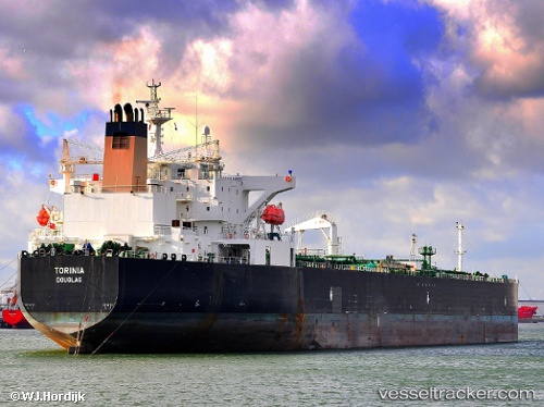
Vessel '538009332' IMO: 9285847, MMSI: 538009332
UTC, 26.95779, -88.22954, course: 159, speed: 10.4
UTC, 26.95779, -88.22954, course: 159, speed: 10.4
UTC, 26.95779, -88.22954, course: 159, speed: 10.4
UTC, 26.95779, -88.22954, course: 159, speed: 10.4
2026-01-09 21:47:50 UTC, 26.95779, -88.22954, course: 159, speed: 10.4
Live AIS position:
UTC. 132 nm S of Port Eads),
updated 2026-01-09 21:47:50 UTC.
Find the position of the vessel '538009332' on the map. The latter are known coordinates and path.
marine traffic ship tracker show on live map
The current position of vessel '538009332' is 26.95779 lat / -88.22954 lng. Updated: 2026-01-09 21:47:50 UTCDetails:
Last coordinates of the vessel:
UTC, 26.95779, -88.22954, course: 159, speed: 10.4UTC, 26.95779, -88.22954, course: 159, speed: 10.4
UTC, 26.95779, -88.22954, course: 159, speed: 10.4
UTC, 26.95779, -88.22954, course: 159, speed: 10.4
UTC, 26.95779, -88.22954, course: 159, speed: 10.4
2026-01-09 21:47:50 UTC, 26.95779, -88.22954, course: 159, speed: 10.4