 vesseltracker.com
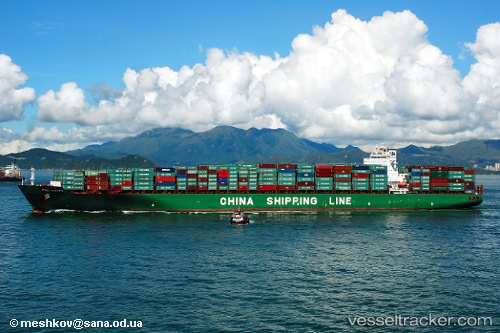
Vessel Europe IMO: 9285988, MMSI: 212175000 Container Ship
UTC, 31.99093, -80.47463, course: 324, speed: 0
UTC, 31.99193, -80.47367, course: 296, speed: 0
2026-01-16 17:28:37 UTC, 31.99395, -80.47353, course: 243, speed: 0
Live AIS position:
UTC. 18 nm E of Tybee Island),
updated 2026-01-16 17:28:37 UTC.
Find the position of the vessel Europe on the map. The latter are known coordinates and path.
marine traffic ship tracker show on live map
The current position of vessel Europe is 31.99395 lat / -80.47353 lng. Updated: 2026-01-16 17:28:37 UTCCurrently sailing under the flag of Cyprus
Europe built in 2004 year
Deadweight:
101612 tDetails:
Last coordinates of the vessel:
UTC, 31.99105, -80.47442, course: 319, speed: 0UTC, 31.99093, -80.47463, course: 324, speed: 0
UTC, 31.99193, -80.47367, course: 296, speed: 0
2026-01-16 17:28:37 UTC, 31.99395, -80.47353, course: 243, speed: 0