 vesseltracker.com
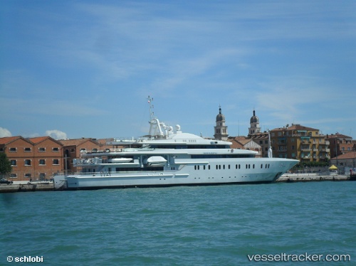
Find the position of the vessel Moonlight Ii on the map. The latter are known coordinates and path.
marine traffic ship tracker show on live map
The current position of vessel Moonlight Ii is 25.2679 lat / 55.2562 lng. Updated: 2025-11-06 12:40:19 UTCCurrently sailing under the flag of Malta
Moonlight Ii built in 2004 year
Deadweight:
700 tDetails:
Last coordinates of the vessel:
UTC, 25.2678, 55.2562, course: 194, speed: 0UTC, 25.2678, 55.2562, course: 194, speed: 0
UTC, 25.2678, 55.2562, course: 194, speed: 0.1
2025-11-06 12:40:19 UTC, 25.2679, 55.2562, course: 194, speed: 0.1