 vesseltracker.com
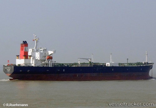
Find the position of the vessel ANNA MARIA P on the map. The latter are known coordinates and path.
marine traffic ship tracker show on live map
The current position of vessel ANNA MARIA P is 37.6281 lat / 9.59488 lng. Updated: 2025-02-11 17:33:46 UTCCurrently sailing under the flag of Liberia
ANNA MARIA P built in 2005 year
Deadweight:
47278 tPayload_mass:
47278 tonneGross tonnage:
26924Service entry:
2005-01-01T00:00:00ZManufacturer:
Onomichi Dockyard (shipyard in Japan)Details:
Last coordinates of the vessel:
UTC, 37.7156, 8.90647, course: 90, speed: 10.1UTC, 37.6939, 9.07095, course: 99, speed: 10.2
UTC, 37.6601, 9.40013, course: 100, speed: 10.2
2025-02-11 17:33:46 UTC, 37.6281, 9.59488, course: 104, speed: 10.9