 vesseltracker.com
Find the position of the vessel EMMANUEL P on the map. The latter are known coordinates and path.
marine traffic ship tracker show on live map
The current position of vessel EMMANUEL P is 5.927325 lat / 103.356455 lng. Updated: 2025-11-07 12:24:55 UTCCurrently sailing under the flag of Marshall Islands
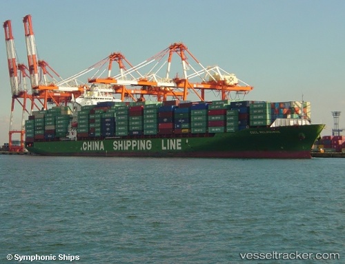
EMMANUEL P built in 2005 year
Deadweight:
50796 tDetails:
Last coordinates of the vessel:
UTC, 5.4733333333333, 103.685, course: -1, speed: 15UTC, 5.5183333333333, 103.65666666667, course: -1, speed: 16
UTC, 5.9084183333333, 103.37918333333, course: 311, speed: 15.9
2025-11-07 12:24:55 UTC, 5.927325, 103.356455, course: 311, speed: 16.1