 vesseltracker.com
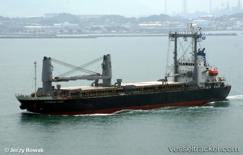
Vessel Montok IMO: 9290218, MMSI: 525024314 Cement Carrier
UTC, 19.70783, 57.80238, course: 279, speed: 4.4
UTC, 19.66270, 57.72255, course: 56, speed: 0
2026-01-17 14:20:53 UTC, 19.66265, 57.72255, course: 56, speed: 0
Live AIS position:
UTC. Near Duqm),
updated 2026-01-17 14:20:53 UTC.
Find the position of the vessel Montok on the map. The latter are known coordinates and path.
marine traffic ship tracker show on live map
The current position of vessel Montok is 19.66265 lat / 57.72255 lng. Updated: 2026-01-17 14:20:53 UTCCurrently sailing under the flag of Indonesia
Montok built in 2004 year
Deadweight:
10713 tDetails:
Last coordinates of the vessel:
UTC, 19.72293, 57.85492, course: 226, speed: 4.5UTC, 19.70783, 57.80238, course: 279, speed: 4.4
UTC, 19.66270, 57.72255, course: 56, speed: 0
2026-01-17 14:20:53 UTC, 19.66265, 57.72255, course: 56, speed: 0