 vesseltracker.com
Find the position of the vessel Bryanston on the map. The latter are known coordinates and path.
marine traffic ship tracker show on live map
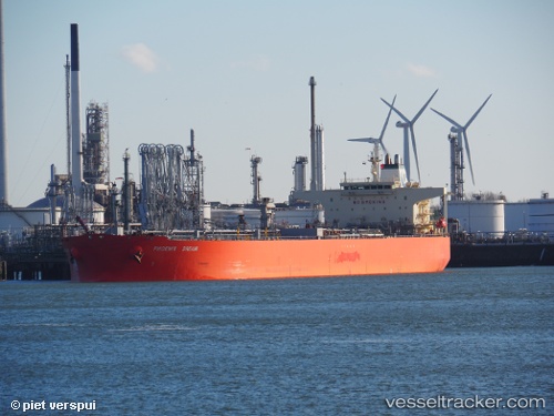
The current position of vessel Bryanston is 4.437055 lat / 7.1484066666667 lng. Updated: 2025-10-22 08:26:49 UTCCurrently sailing under the flag of Marshall Is
Bryanston built in 2005 year
Deadweight:
105784 tDetails:
Last coordinates of the vessel:
UTC, 4.4400233333333, 7.1530483333333, course: 239, speed: 0.1UTC, 4.4373666666667, 7.1505733333333, course: 352, speed: 0.2
UTC, 4.4369683333333, 7.1485333333333, course: 25, speed: 0
2025-10-22 08:26:49 UTC, 4.437055, 7.1484066666667, course: 29, speed: 0