 vesseltracker.com
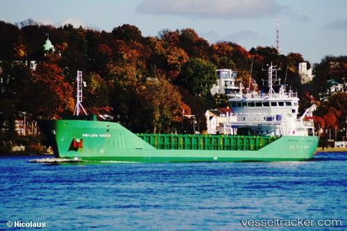
Find the position of the vessel Feed Rogaland on the map. The latter are known coordinates and path.
marine traffic ship tracker show on live map
The current position of vessel Feed Rogaland is 51.36389 lat / 2.66248 lng. Updated: 2025-11-05 18:00:24 UTCCurrently sailing under the flag of Norway
Feed Rogaland built in 2004 year
Deadweight:
4485 tDetails:
Last coordinates of the vessel:
UTC, 51.42384, 3.66662, course: 294, speed: 13.6UTC, 51.41361, 3.49642, course: 258, speed: 13.4
UTC, 51.36243, 2.89190, course: 270, speed: 11.6
2025-11-05 18:00:24 UTC, 51.36389, 2.66248, course: 299, speed: 10.6