 vesseltracker.com
Find the position of the vessel East Coast on the map. The latter are known coordinates and path.
marine traffic ship tracker show on live map
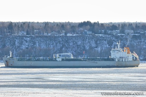
The current position of vessel East Coast is 44.6749 lat / -63.6059 lng. Updated: 2025-02-27 19:04:23 UTCCurrently sailing under the flag of Canada
East Coast built in 2005 year
Deadweight:
37515 tPayload_mass:
37515 tonneGross tonnage:
23519Service entry:
2005-01-01T00:00:00ZManufacturer:
HD Hyundai Mipo (South Korean shipbuilding company)Details:
Last coordinates of the vessel:
2025-02-27 19:04:23 UTC, 44.6749, -63.6059, course: 115, speed: 0