 vesseltracker.com
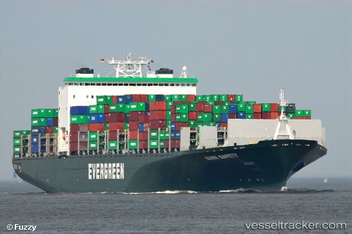
Vessel '563096700' IMO: 9300465, MMSI: 563096700
UTC, 31.37617, 121.57708, course: 116, speed: 0
UTC, 31.37625, 121.57710, course: 116, speed: 0
2026-01-17 00:29:14 UTC, 31.37635, 121.57723, course: 116, speed: 0
Live AIS position:
UTC. Near Wu-Sung),
updated 2026-01-17 00:29:14 UTC.
Find the position of the vessel '563096700' on the map. The latter are known coordinates and path.
marine traffic ship tracker show on live map
The current position of vessel '563096700' is 31.37635 lat / 121.57723 lng. Updated: 2026-01-17 00:29:14 UTCDetails:
Last coordinates of the vessel:
UTC, 31.37607, 121.57703, course: 116, speed: 0UTC, 31.37617, 121.57708, course: 116, speed: 0
UTC, 31.37625, 121.57710, course: 116, speed: 0
2026-01-17 00:29:14 UTC, 31.37635, 121.57723, course: 116, speed: 0