 vesseltracker.com
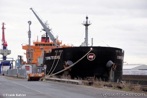
Vessel RAINBOW IMO: 9302126, MMSI: 304183000 Chemical/Oil Products Tanker
UTC, 54.94211, 10.89560, course: 56, speed: 12.6
UTC, 55.07297, 10.99343, course: 346, speed: 13.5
2026-01-18 06:00:31 UTC, 55.28399, 11.06256, course: 337, speed: 13.6
Live AIS position:
UTC. Near Korsor),
updated 2026-01-18 06:00:31 UTC.
Find the position of the vessel RAINBOW on the map. The latter are known coordinates and path.
marine traffic ship tracker show on live map
The current position of vessel RAINBOW is 55.28399 lat / 11.06256 lng. Updated: 2026-01-18 06:00:31 UTCCurrently sailing under the flag of Antigua Barbuda
RAINBOW built in 2005 year
Deadweight:
36990 tDetails:
Last coordinates of the vessel:
UTC, 54.62162, 10.92607, course: 301, speed: 13.2UTC, 54.94211, 10.89560, course: 56, speed: 12.6
UTC, 55.07297, 10.99343, course: 346, speed: 13.5
2026-01-18 06:00:31 UTC, 55.28399, 11.06256, course: 337, speed: 13.6