 vesseltracker.com
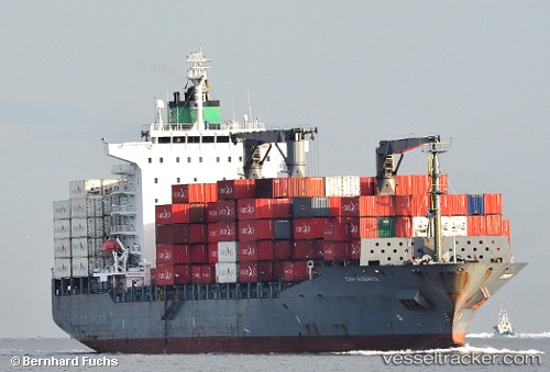
Vessel Margarete Schulte IMO: 9302944, MMSI: 249837000 Container Ship
UTC, 26.03360, -80.01882, course: 130, speed: 13
UTC, 25.88897, -79.77944, course: 145, speed: 11.5
2026-01-18 15:09:37 UTC, 25.60827, -79.61060, course: 176, speed: 14
Live AIS position:
UTC. 30 nm E of Fisher Island, Miami),
updated 2026-01-18 15:09:37 UTC.
Find the position of the vessel Margarete Schulte on the map. The latter are known coordinates and path.
marine traffic ship tracker show on live map
The current position of vessel Margarete Schulte is 25.60827 lat / -79.61060 lng. Updated: 2026-01-18 15:09:37 UTCDetails:
Last coordinates of the vessel:
UTC, 26.07299, -80.11860, course: 90, speed: 0UTC, 26.03360, -80.01882, course: 130, speed: 13
UTC, 25.88897, -79.77944, course: 145, speed: 11.5
2026-01-18 15:09:37 UTC, 25.60827, -79.61060, course: 176, speed: 14