 vesseltracker.com
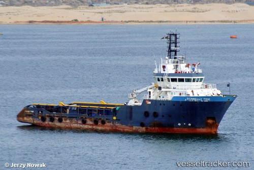
Vessel Donnelly Tide IMO: 9303467, MMSI: 576980000 Offshore Tug Supply Ship
Live AIS position:
UTC. 24 nm NW of Pointe Noire),
updated 2023-01-10 19:42:28 UTC.
Find the position of the vessel Donnelly Tide on the map. The latter are known coordinates and path.
marine traffic ship tracker show on live map
The current position of vessel Donnelly Tide is -4.50984 lat / 11.53615 lng. Updated: 2023-01-10 19:42:28 UTCDetails:
Last coordinates of the vessel:
2023-01-10 19:42:28 UTC, -4.50984, 11.53615, course: 120, speed: 0.9