 vesseltracker.com
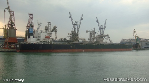
Find the position of the vessel Malakand on the map. The latter are known coordinates and path.
marine traffic ship tracker show on live map
The current position of vessel Malakand is 13.74187 lat / 118.78864 lng. Updated: 2025-11-19 04:03:54 UTCDetails:
Last coordinates of the vessel:
UTC, 13.47535, 119.20578, course: 313, speed: 10.3UTC, 13.49531, 119.17648, course: 312, speed: 10.2
UTC, 13.64675, 118.93975, course: 308, speed: 8.8
2025-11-19 04:03:54 UTC, 13.74187, 118.78864, course: 307, speed: 9.1