 vesseltracker.com
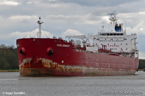
Vessel Artemis IMO: 9305532, MMSI: 525119095 Chemical Oil Products Tanker
UTC, 1.20728, 103.79750, course: 321, speed: 0
UTC, 1.20727, 103.79748, course: 321, speed: 0
2026-01-19 10:22:55 UTC, 1.20730, 103.79749, course: 321, speed: 0
Live AIS position:
UTC. Near BUKOM ISLAND),
updated 2026-01-19 10:22:55 UTC.
Find the position of the vessel Artemis on the map. The latter are known coordinates and path.
marine traffic ship tracker show on live map
The current position of vessel Artemis is 1.20730 lat / 103.79749 lng. Updated: 2026-01-19 10:22:55 UTCCurrently sailing under the flag of Indonesia
Artemis built in 2004 year
Deadweight:
36997 tDetails:
Last coordinates of the vessel:
UTC, 1.20729, 103.79748, course: 321, speed: 0UTC, 1.20728, 103.79750, course: 321, speed: 0
UTC, 1.20727, 103.79748, course: 321, speed: 0
2026-01-19 10:22:55 UTC, 1.20730, 103.79749, course: 321, speed: 0