 vesseltracker.com
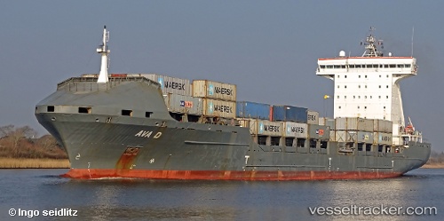
Vessel AVA D IMO: 9306225, MMSI: 255705000 Container Ship
UTC, 59.98321, 26.07231, course: 32, speed: 10.8
UTC, 60.10469, 26.27888, course: 40, speed: 10.9
2026-01-18 21:23:35 UTC, 60.14443, 26.33848, course: 31, speed: 7.6
Live AIS position:
UTC. 14 nm S of Kallviken),
updated 2026-01-18 21:23:35 UTC.
Find the position of the vessel AVA D on the map. The latter are known coordinates and path.
marine traffic ship tracker show on live map
The current position of vessel AVA D is 60.14443 lat / 26.33848 lng. Updated: 2026-01-18 21:23:35 UTCCurrently sailing under the flag of Portugal (MAR)
AVA D built in 2007 year
Deadweight:
20646 tDetails:
Last coordinates of the vessel:
UTC, 59.84323, 25.46352, course: 78, speed: 11.4UTC, 59.98321, 26.07231, course: 32, speed: 10.8
UTC, 60.10469, 26.27888, course: 40, speed: 10.9
2026-01-18 21:23:35 UTC, 60.14443, 26.33848, course: 31, speed: 7.6