 vesseltracker.com
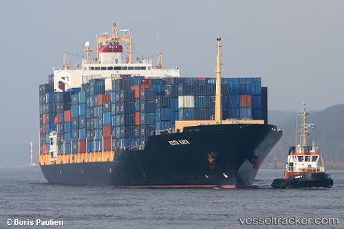
Find the position of the vessel M. V. Kota Kaya on the map. The latter are known coordinates and path.
marine traffic ship tracker show on live map
The current position of vessel M. V. Kota Kaya is -2.79062 lat / 70.66010 lng. Updated: 2025-07-03 10:28:34 UTCDetails:
Last coordinates of the vessel:
2025-07-03 10:28:34 UTC, -2.79062, 70.66010, course: 73, speed: 14.8