 vesseltracker.com
Live AIS position:
60.26759° N, 28.62321° E UTC. Near Primorsk),
updated 2025-04-13 07:43:06 UTC.
Find the position of the vessel ELECTRA on the map. The latter are known coordinates and path.
marine traffic ship tracker show on live map
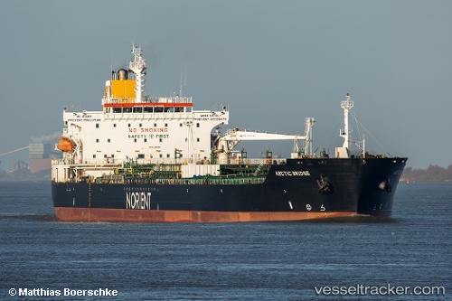
The current position of vessel ELECTRA is 60.26759 lat / 28.62321 lng. Updated: 2025-04-13 07:43:06 UTCCurrently sailing under the flag of Gabon
ELECTRA built in 2005 year
Deadweight:
50921 tDetails:
Last coordinates of the vessel:
2025-04-13 07:43:06 UTC, 60.26759, 28.62321, course: 238, speed: 32