 vesseltracker.com
Find the position of the vessel ELIZABETH M on the map. The latter are known coordinates and path.
marine traffic ship tracker show on live map
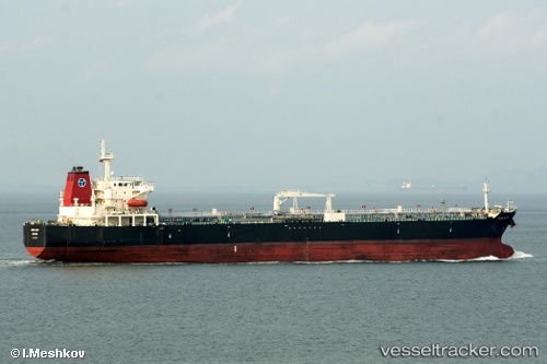
The current position of vessel ELIZABETH M is 11.8061 lat / -27.6889 lng. Updated: 2025-07-15 14:10:56 UTCCurrently sailing under the flag of Marshall Islands
ELIZABETH M built in 2007 year
Deadweight:
50359 tDetails:
Last coordinates of the vessel:
UTC, 12.2361, -27.5857, course: 193, speed: 11.3UTC, 11.9809, -27.648, course: 192, speed: 11.6
UTC, 11.8947, -27.6664, course: 194, speed: 11.5
2025-07-15 14:10:56 UTC, 11.8061, -27.6889, course: 193, speed: 11.7