 vesseltracker.com
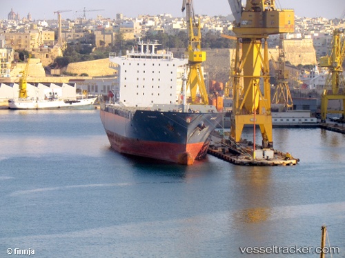
Find the position of the vessel EMMA A on the map. The latter are known coordinates and path.
marine traffic ship tracker show on live map
The current position of vessel EMMA A is 38.71526 lat / 25.84126 lng. Updated: 2025-11-04 20:18:32 UTCCurrently sailing under the flag of Malta
EMMA A built in 2007 year
Deadweight:
38547 tDetails:
Last coordinates of the vessel:
UTC, 38.75500, 26.52030, course: 264, speed: 15.9UTC, 38.73423, 26.21492, course: 266, speed: 16.3
UTC, 38.72097, 25.91487, course: 272, speed: 16.2
2025-11-04 20:18:32 UTC, 38.71526, 25.84126, course: 260, speed: 16.2