 vesseltracker.com
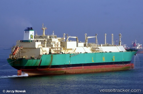
Find the position of the vessel Lng Imo on the map. The latter are known coordinates and path.
marine traffic ship tracker show on live map
The current position of vessel Lng Imo is 4.42712 lat / 7.14562 lng. Updated: 2025-10-09 03:25:01 UTCCurrently sailing under the flag of Bermuda
Lng Imo built in 2007 year
Deadweight:
83688 tDetails:
Last coordinates of the vessel:
UTC, 4.42712, 7.14562, course: 220, speed: 0UTC, 4.42713, 7.14563, course: 220, speed: 0
UTC, 4.42712, 7.14562, course: 220, speed: 0
2025-10-09 03:25:01 UTC, 4.42712, 7.14562, course: 220, speed: 0
The ship also appears on the maps: