 vesseltracker.com
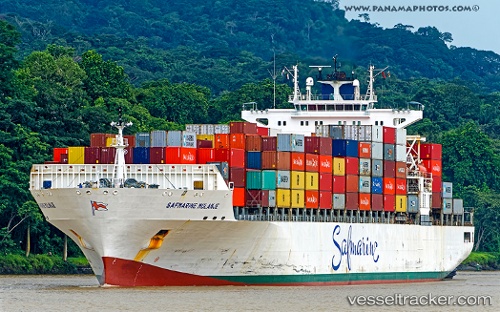
Find the position of the vessel MAERSK KANSAS on the map. The latter are known coordinates and path.
marine traffic ship tracker show on live map
The current position of vessel MAERSK KANSAS is 27.43667 lat / -70.46667 lng. Updated: 2025-11-06 09:14:28 UTCCurrently sailing under the flag of United States of America
MAERSK KANSAS built in 2007 year
Deadweight:
61447 tDetails:
Last coordinates of the vessel:
UTC, 27.59229, -69.80006, course: 262, speed: 18.3UTC, 27.51500, -70.15333, course: -1, speed: 19
UTC, 27.50333, -70.20500, course: -1, speed: 19
2025-11-06 09:14:28 UTC, 27.43667, -70.46667, course: -1, speed: 18