 vesseltracker.com
Find the position of the vessel BOND on the map. The latter are known coordinates and path.
marine traffic ship tracker show on live map
The current position of vessel BOND is 48.6148 lat / -6.24515 lng. Updated: 2025-06-22 07:45:46 UTCCurrently sailing under the flag of Liberia
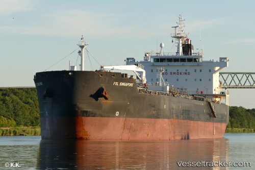
BOND built in 2006 year
Speed:
14.6 knotDeadweight:
47470 tPayload_mass:
47470 tonneGross tonnage:
28068Service entry:
2006-01-01T00:00:00ZManufacturer:
HD Hyundai Mipo (South Korean shipbuilding company)Details:
Last coordinates of the vessel:
UTC, 48.6661, -6.28124, course: 190, speed: 1.4UTC, 48.6586, -6.27577, course: 186, speed: 1.3
UTC, 48.6312, -6.26076, course: 178, speed: 1.1
2025-06-22 07:45:46 UTC, 48.6148, -6.24515, course: 177, speed: 0.7