 vesseltracker.com
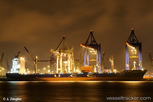
Find the position of the vessel Hsl Paraty on the map. The latter are known coordinates and path.
marine traffic ship tracker show on live map
The current position of vessel Hsl Paraty is 10.6113 lat / -75.7959 lng. Updated: 2025-07-08 20:21:19 UTCCurrently sailing under the flag of Liberia
Hsl Paraty built in 2004 year
Deadweight:
33794 tDetails:
Last coordinates of the vessel:
UTC, 10.4031, -75.5396, course: 196, speed: 3.8UTC, 10.3637, -75.7144, course: 344, speed: 13.8
UTC, 10.6113, -75.7959, course: 345, speed: 14.1
2025-07-08 20:21:19 UTC, 10.6113, -75.7959, course: 345, speed: 14.1