 vesseltracker.com
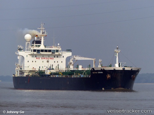
Find the position of the vessel Coast Buster on the map. The latter are known coordinates and path.
marine traffic ship tracker show on live map
The current position of vessel Coast Buster is 43.86828 lat / 38.90363 lng. Updated: 2025-11-03 20:05:27 UTCCurrently sailing under the flag of Bahamas
Coast Buster built in 2006 year
Deadweight:
36713 tDetails:
Last coordinates of the vessel:
UTC, 44.08428, 39.07228, course: 69, speed: 0UTC, 44.08432, 39.07230, course: 69, speed: 0
UTC, 44.11177, 39.09052, course: 69, speed: 5.5
2025-11-03 20:05:27 UTC, 43.86828, 38.90363, course: 69, speed: 10.5
The ship also appears on the maps: