 vesseltracker.com
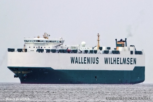
Vessel Patriot IMO: 9316139, MMSI: 303210000 Vehicles Carrier
UTC, 11.69113, -141.26422, course: 274, speed: 15.4
UTC, 11.70899, -141.53249, course: 271, speed: 15.4
2026-03-03 06:23:39 UTC, 11.74785, -142.27065, course: 278, speed: 15.4
Live AIS position:
UTC. 171 nm SE of Santa Rita),
updated 2026-03-03 06:23:39 UTC.
Find the position of the vessel Patriot on the map. The latter are known coordinates and path.
marine traffic ship tracker show on live map
The current position of vessel Patriot is 11.74785 lat / -142.27065 lng. Updated: 2026-03-03 06:23:39 UTCCurrently sailing under the flag of USA
Patriot built in 2006 year
Deadweight:
22564 tDetails:
Last coordinates of the vessel:
UTC, 11.61480, -140.56508, course: 275, speed: 14.1UTC, 11.69113, -141.26422, course: 274, speed: 15.4
UTC, 11.70899, -141.53249, course: 271, speed: 15.4
2026-03-03 06:23:39 UTC, 11.74785, -142.27065, course: 278, speed: 15.4