 vesseltracker.com
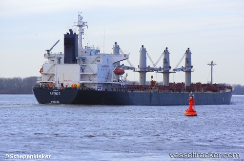
Vessel PANCARAN I 5505 IMO: 9317080, MMSI: 525700820 Bulk Carrier
UTC, -2.84833, 122.24667, course: -1, speed: 0
UTC, -2.84833, 122.24667, course: -1, speed: 0
2026-01-18 00:04:04 UTC, -2.85052, 122.24774, course: -1, speed: 0
Live AIS position:
UTC. 71 nm N of KENDARI),
updated 2026-01-18 00:04:04 UTC.
Find the position of the vessel PANCARAN I 5505 on the map. The latter are known coordinates and path.
marine traffic ship tracker show on live map
The current position of vessel PANCARAN I 5505 is -2.85052 lat / 122.24774 lng. Updated: 2026-01-18 00:04:04 UTCCurrently sailing under the flag of Indonesia
PANCARAN I 5505 built in 2004 year
Deadweight:
52454 tDetails:
Last coordinates of the vessel:
UTC, -2.84833, 122.24667, course: -1, speed: 0UTC, -2.84833, 122.24667, course: -1, speed: 0
UTC, -2.84833, 122.24667, course: -1, speed: 0
2026-01-18 00:04:04 UTC, -2.85052, 122.24774, course: -1, speed: 0