 vesseltracker.com
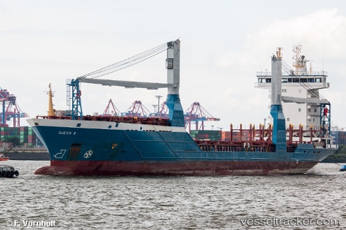
Find the position of the vessel Queen B on the map. The latter are known coordinates and path.
marine traffic ship tracker show on live map
The current position of vessel Queen B is 27.10517 lat / -83.77530 lng. Updated: 2025-09-30 19:01:07 UTCCurrently sailing under the flag of Cyprus
Queen B built in 2004 year
Deadweight:
8223 tDetails:
Last coordinates of the vessel:
UTC, 26.71364, -84.35368, course: 51, speed: 12.9UTC, 26.85604, -84.15760, course: 52, speed: 13.1
UTC, 27.00144, -83.93367, course: 52, speed: 13.4
2025-09-30 19:01:07 UTC, 27.10517, -83.77530, course: 53, speed: 13.1