 vesseltracker.com
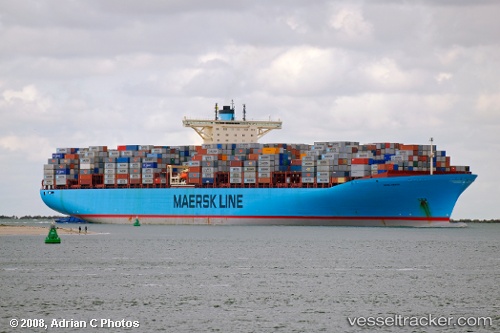
Find the position of the vessel Emma Maersk on the map. The latter are known coordinates and path.
marine traffic ship tracker show on live map
The current position of vessel Emma Maersk is 1.27331 lat / 103.77401 lng. Updated: 2025-08-04 01:18:47 UTCCurrently sailing under the flag of Denmark
Emma Maersk built in 2006 year
Deadweight:
156907 tDetails:
Last coordinates of the vessel:
2025-08-04 01:18:47 UTC, 1.27331, 103.77401, course: 31, speed: 0The ship also appears on the maps: