 vesseltracker.com
Live AIS position:
30.28420° N, 122.07742° E UTC. Near JINHAI HEAVY INDUSTR),
updated 2024-11-26 06:32:39 UTC.
Find the position of the vessel SAI BABA on the map. The latter are known coordinates and path.
marine traffic ship tracker show on live map
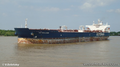
The current position of vessel SAI BABA is 30.28420 lat / 122.07742 lng. Updated: 2024-11-26 06:32:39 UTCCurrently sailing under the flag of Gabon
SAI BABA built in 2006 year
Deadweight:
158889 tDetails:
Last coordinates of the vessel:
2024-11-26 06:32:39 UTC, 30.28420, 122.07742, course: 129, speed: 0