 vesseltracker.com
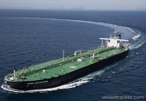
Find the position of the vessel Bunga Kasturi Enam on the map. The latter are known coordinates and path.
marine traffic ship tracker show on live map
The current position of vessel Bunga Kasturi Enam is 22.158864974975586 lat / 114.13092041015625 lng. Updated: 2025-09-02 04:59:11 UTCDetails:
Last coordinates of the vessel:
2025-09-02 04:59:11 UTC, 22.158864974975586, 114.13092041015625, course: 96, speed: 0.4