 vesseltracker.com
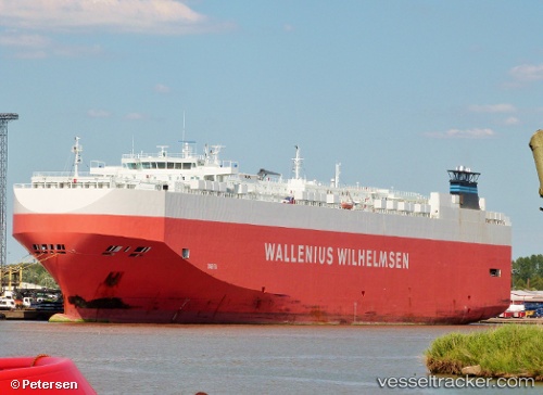
Vessel Tarifa IMO: 9327748, MMSI: 309847000 Vehicles Carrier
UTC, 11.68500, 157.40833, course: -1, speed: 16
UTC, 11.25223, 157.71481, course: 142, speed: 16.2
2026-01-16 12:51:32 UTC, 10.96807, 157.90990, course: 142, speed: 16.5
Live AIS position:
UTC. 251 nm N of Ponape),
updated 2026-01-16 12:51:32 UTC.
Find the position of the vessel Tarifa on the map. The latter are known coordinates and path.
marine traffic ship tracker show on live map
The current position of vessel Tarifa is 10.96807 lat / 157.90990 lng. Updated: 2026-01-16 12:51:32 UTCDetails:
Last coordinates of the vessel:
UTC, 11.85750, 157.29982, course: 144, speed: 16.5UTC, 11.68500, 157.40833, course: -1, speed: 16
UTC, 11.25223, 157.71481, course: 142, speed: 16.2
2026-01-16 12:51:32 UTC, 10.96807, 157.90990, course: 142, speed: 16.5