 vesseltracker.com
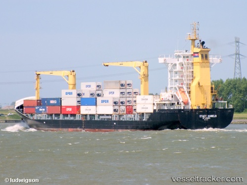
Vessel '636020661' IMO: 9330276, MMSI: 636020661
UTC, 11.19333, -71.33333, course: -1, speed: 10
UTC, 11.26802, -71.15830, course: 63, speed: 11
2026-01-17 20:49:55 UTC, 11.33362, -71.02305, course: 63, speed: 11
Live AIS position:
UTC. 39 nm N of Mene de Mauroa),
updated 2026-01-17 20:49:55 UTC.
Find the position of the vessel '636020661' on the map. The latter are known coordinates and path.
marine traffic ship tracker show on live map
The current position of vessel '636020661' is 11.33362 lat / -71.02305 lng. Updated: 2026-01-17 20:49:55 UTCDetails:
Last coordinates of the vessel:
UTC, 11.12833, -71.52500, course: -1, speed: 10UTC, 11.19333, -71.33333, course: -1, speed: 10
UTC, 11.26802, -71.15830, course: 63, speed: 11
2026-01-17 20:49:55 UTC, 11.33362, -71.02305, course: 63, speed: 11