 vesseltracker.com
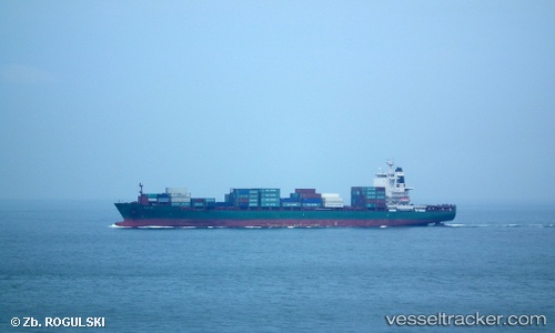
Vessel Trf Kaya IMO: 9330549, MMSI: 636018040 Container Ship
Live AIS position:
UTC. Near INEBOLU),
updated 2025-12-28 17:08:11 UTC.
Find the position of the vessel Trf Kaya on the map. The latter are known coordinates and path.
marine traffic ship tracker show on live map
The current position of vessel Trf Kaya is 42.13542 lat / 33.82974 lng. Updated: 2025-12-28 17:08:11 UTCCurrently sailing under the flag of Liberia
Trf Kaya built in 2007 year
Deadweight:
39337 tDetails:
Last coordinates of the vessel:
2025-12-28 17:08:11 UTC, 42.13542, 33.82974, course: 278, speed: 10.5